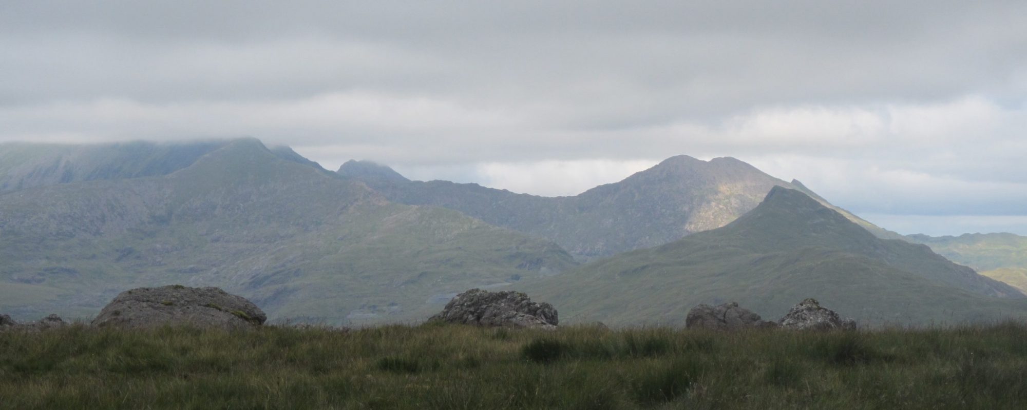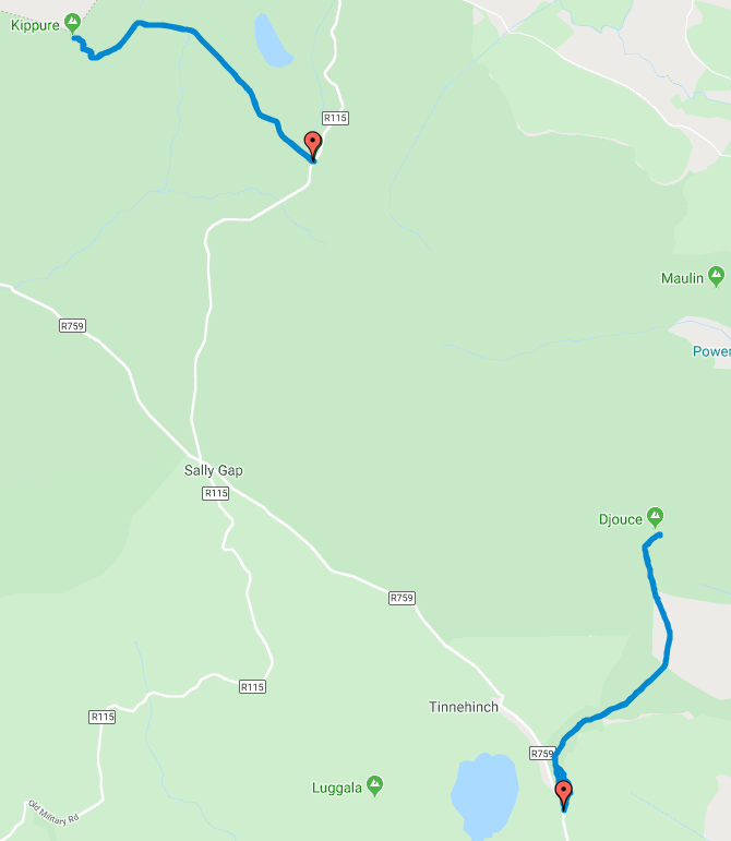
EI/IE-005, Kippure – 757m, 10 points
 Sunday morning I was promised sunshine by the weatherman but it broke with extensive cloud cover, at least it wasn’t raining.
I planned to start the day with Kippure. This is probably the easiest 10 point summit ever.
There is no proper car park but plenty of room at the junction to park three or four cars safely and without obstruction. It’s then just a case of following the access road all the way to the summit.
The top was still in cloud when I arrived, reportedly there is a radio mast there but all I could see was the bottom of some guy ropes. I set up the station in the shelter of an old disused anchor block and called CQ.
It was a bit slow going this morning, possibly because they were reading the IRTS Radio News Bulletin on channel S21 so everyone was listening there. I did eventually manage to make five contacts mostly into Wales with one into England.
EI/IE-005, Kippure Log

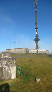
By the time I had finished the cloud had lifted and the sun was shining so I was rewarded with a fabulous view of the radio tower behind me. It was a bit bigger than my aerial that you can see below it. As far as I could tell I don’t think it caused me any reception problems whilst operating unless that was why I was struggling to find the contacts. Possibly I was in below the radiation pattern.
The return to the car is as easy as the ascent, just follow the road!
Journey Details
Date – 6th October 2019
Parking (Grid) – O 141 141
Parking (Lat/Long) – 53.166080 -6.2942943
Radio – Kenwood TH-D74 + 50W PA
Antenna – 2 Element Yagi
Band – 144 FM
Contacts – 5
SOTA points – 10
Group – Myself
Distance – 7.1Km
Parking Height – 520m
Summit Height – 757m
Time Total – 2h 02m
Time Up 0h 40m
Time Down 0h 31m
EI/IE-007, Djouce – 725m, 10 points
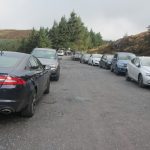 A short drive from Kippure took me to the Djouce car park. By now, a bit later in the day and the sun was shining bringing the day trippers out.
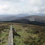 The path up to the summit initially follows the route of the Wicklow Way, a 131-kilometre long-distance trail that crosses the Wicklow Mountains. This part of the path has been protected by the installation of a boardwalk made up of two parallel railway sleepers taking walkers across the peat bogs.
 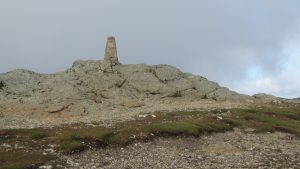 This is again a very easy route, just follow the boardwalk until the very obvious left turn leading up the final Km to the summit. There is plenty of room on the summit which is fortunate as it seems to be a very popular walk on a sunny Sunday afternoon. I found a quiet spot away from the trig point and set up the station in the shelter of a large rock. I soon had another six contacts in the log before returning the same way to the car. The only difficulty being dodging the tourists along the narrow boardwalk. Another very easy ten points!
EI/IE-007, Djouce Log

Journey Details
Date – 6th October 2019
Parking (Grid) – O 168 077
Parking (Lat/Long) – 53.106988 -6.2562177
Radio – Kenwood TH-D74 + 50W PA
Antenna – MFJ Longranger
Band – 144 FM
Contacts – 6
SOTA points – 10
Group – Myself
Distance – 7.5Km
Parking Height – 480m
Summit Height – 725m
Time Total – 2h 06m
Time Up 0h 50m
Time Down 0h 43m
